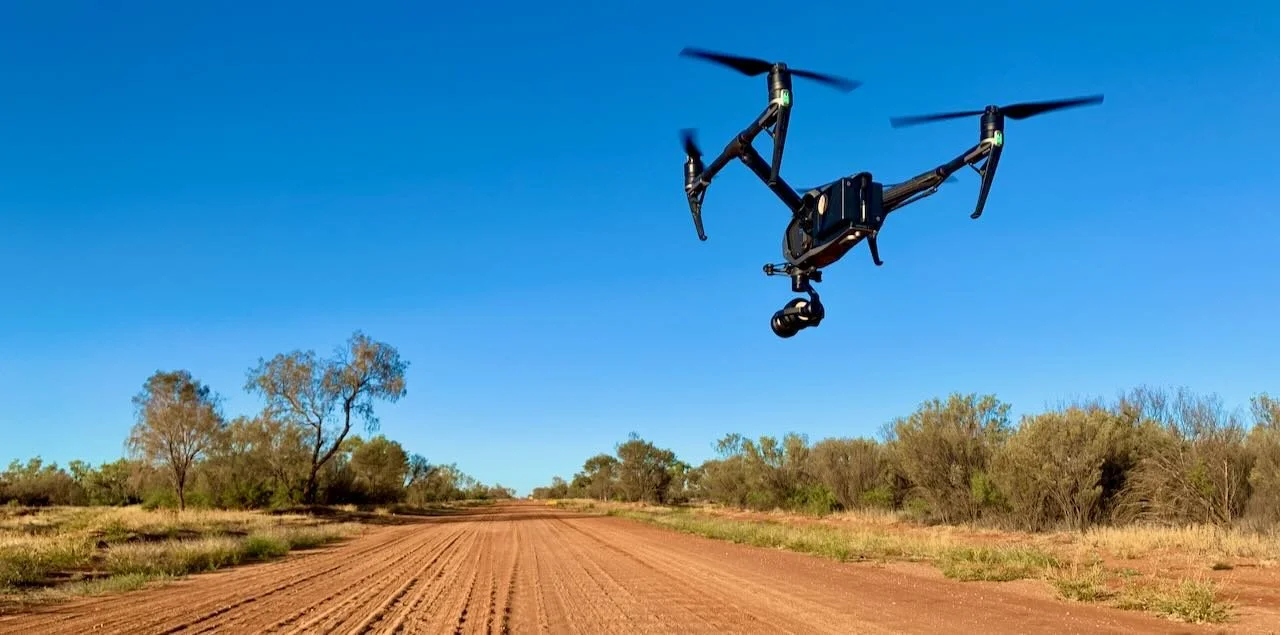


AERIAL SURVEYING
LiDAR & PHOTOGRAMMETRY
AERIAL SURVEYING
LiDAR & PHOTOGRAMMETRY

Our high resolution geo-referenced aerial mapping products will bring decision making literally to your fingertips. Survey-grade accuracy and precision - time and time again - using latest technology of RTK and PPK solutions, make regulatory requirements and keeping records a breeze.
A cost-effective way to survey small and big project sites, communities or infrastructure from the convenience of your desktop. With a full range of mapping tools, different display options, point cloud and interactive share-ability but no additional hardware or software required.
For the experts, export files into specific data output for your existing GIS is also available.
Ideal for reporting, planning and progress monitoring developments, environment or assets in remote or hard to access places.
Talk to us about your next project - with aerial mapping from uberair
TERRESTRIAL SURVEYING
ABOVE AND LICENSED UNDERGROUND DETAIL & FEATURE SURVEYS
TERRESTRIAL SURVEYING
ABOVE AND LICENSED UNDERGROUND DETAIL & FEATURE SURVEYS

We provide above and underground detail and feature surveys.

GPR
Telco, gas or underground piping - we can find your underground services and map them out for you.
Be it an industrial site, infrastructure project, public buildings or historic and restoration projects, within due time, our geo-referenced high resolution images, accurate positioning measuring tools will allow you to make decisions right from the comfort of your desktop.
A stitch in time saves nine - we deliver the data to make cost-saving decisions in the long run.
Talk to us about your next project - with above and underground surveys from uberair
3D LASER SCANNING
3D MODELLING & ASSET MANAGEMENT
3D LASER SCANNING
3D MODELLING & ASSET MANAGEMENT
3D LASER SCANNING & BIM MODELING

Global technology company FARO Australia is closing the gap by partnering with Uber Air.
We are now able to combine drone photogrammetry data with high resolution As-Built surveys using FARO 3D Laserscanning technology - with millimetre accuracy, pointclouds, VR (virtual reality), and enhancing data presentation augmented reality brining projects to life.
Our laser scanning services enable the complete and precise captuing of As-Built data in HDR colours - ideal for restoration projects, scientific analysis, securing protected buildings or virtual presentations of building sites.
Final deliverables for Revit/AutoCAD, 2D plans, 3D models will be processed subsequently to suit your requirements. Industry-leading solutions with the right process, the right tools, for the right deliverable - uberair, your partner for 3D.
VISUALISATIONS
PROFESSIONAL VIDEO AND PHOTOGRAPHY SERVICES
VISUALISATIONS
PROFESSIONAL VIDEO AND PHOTOGRAPHY SERVICES
REMOTE COMMUNITY EMPLOYMENT STRATEGY

At uberair, we are committed to Taking Remote Australia beyond.
This includes exploring opportunities for local employment where possible. A comprehensive study is currently undertaken to look for the creation of permanent positions in the field of data acquisition and remote sensing.
Are you having an exciting project, research or task where you think remote piloted aircraft (RPA) applications may bring a benefit to remote Australia?
Talk to us - uberair are the experts in Central Australia.